LiDAR: Redefining Precision Mapping
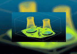
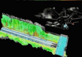
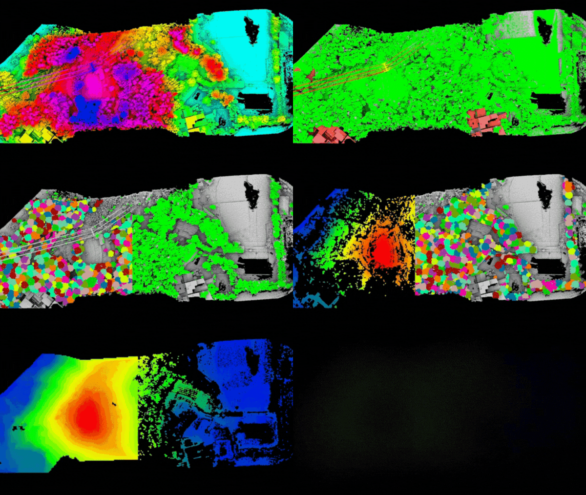
Imagine being able to map out an entire area with laser-like precision. That’s exactly what LiDAR (Light Detection and Ranging) technology offers. Instead of relying on traditional photo cameras, LiDAR sends out rapid laser pulses and captures their responses, creating a detailed point cloud. This point cloud forms the foundation of highly accurate 3D models, perfect for topographic mapping and land surveying.
Recent advancements have made LiDAR sensors more affordable and lighter, enabling broader use across various industries. Companies like Livox and Velodyne are at the forefront of this technology, while integrators like GreenValley, YellowScan, Emescent, and LiDARUSA turn these components into practical, commercial solutions. Whether you’re in construction, environmental monitoring, or urban planning, LiDAR can provide the centimeter-level accuracy you need to make informed decisions.

