PPTI LOGO WHITE

Smart Drone Solutions For The Philippines

β€œOutstanding Drone Services that build trust with every flight.”

Smart Drone Solutions For The Philippines

β€œOutstanding Drone Services that build trust with every flight.”

ABOUT US

Bringing Drone Technology Solutions to the Philippines

Precision Path Technologies Inc. is the first drone company that aims to provide end-to-end solutions in the Philippines. The company specializes in manufacturing and deploying state-of-the-art UAV technology tailored to meet the diverse needs of various industries within the country.

The company offers comprehensive training programs that cover everything from basic drone fundamentals to CAAP licensing procedures. We also ensure clients are thoroughly prepared, from the drone assembly process up to safe and efficient flight operations.

We offer after-sales support for drones to ensure zero downtime in your operations. That includes locally available spare parts such as frames, propellers, batteries, etc., ensuring prompt and efficient service at a lower cost.

How it works

Our Standard Working Process

Build Agricultural and Enterprise Drone

Drone School

Drone end-to-end solutions

OUR PRODUCTS

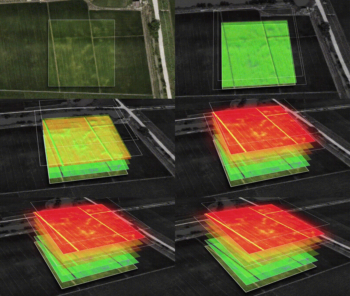
M400 MULTISPECTRAL

OUR PRODUCTS

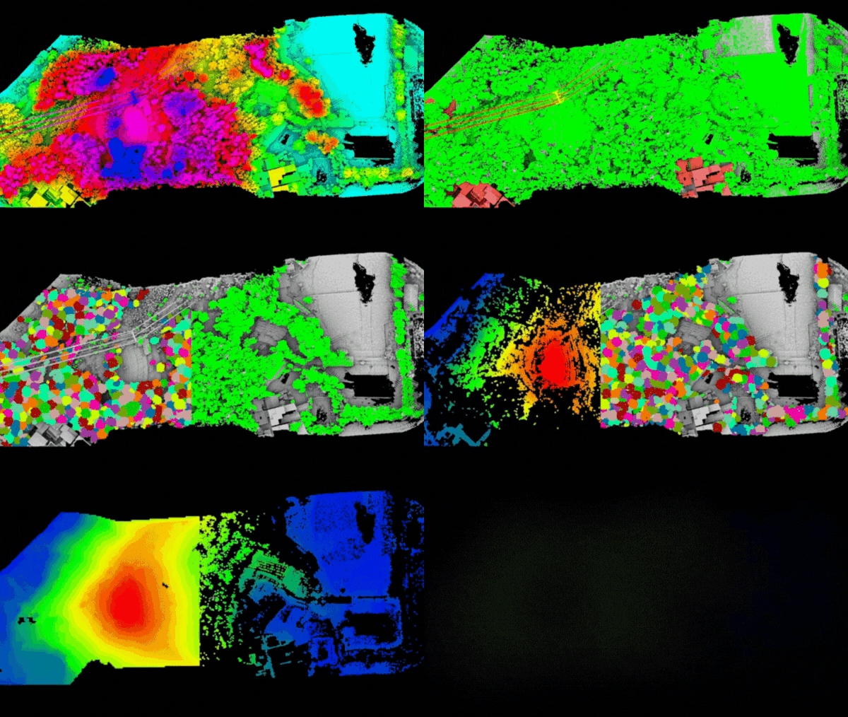
M400 LIDAR X3C-H

OUR PRODUCTS

M400 MULTISPECTRAL

OUR PRODUCTS

M400 LIDAR X3C-H

Latest Blog post

Interesting Article Updated Daily
Multi-Spectral Imaging: Beyond the Visible Spectrum
Multispectral imaging captures data beyond visible light, using wavelengths like infrared and ultraviolet to reveal details such as vegetation health and soil composition. Once used in military and space, it's now vital in agriculture, environmental monitoring, and document analysis.
Read More
Image description
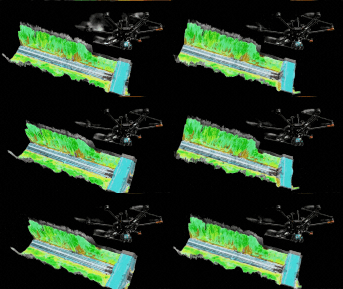
LiDAR: Redefining Precision Mapping
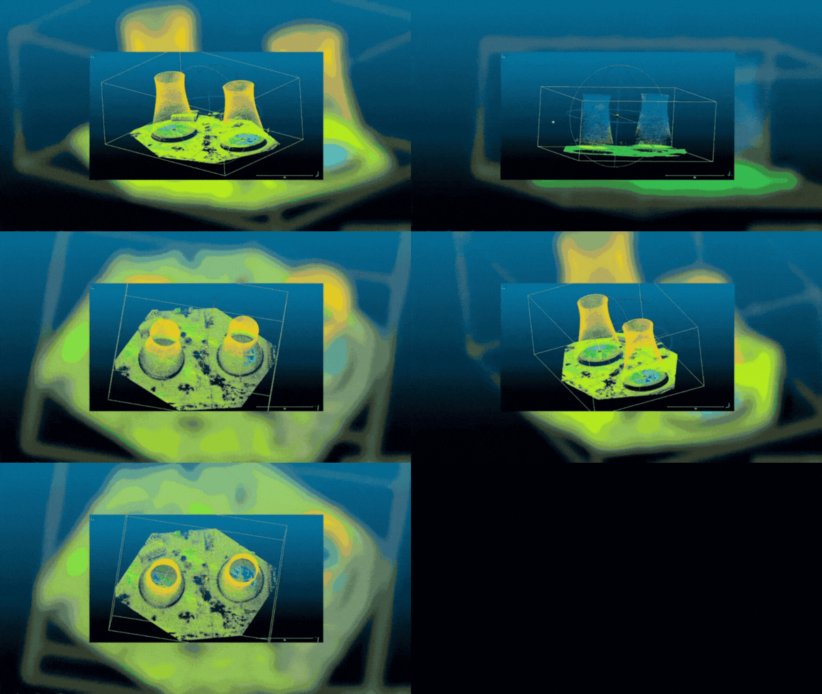
LiDAR technology uses rapid laser pulses to create precise 3D models, making it ideal for topographic mapping and land surveying. With advancements in affordability and portability, it's now widely used in construction, environmental monitoring, and urban planning for centimeter-level accuracy.
Read More
Image description
Photogrammetry: Making Mapping Accessible
Photogrammetry uses drone-captured images stitched together to create detailed 2D or 3D models, making it a cost-effective solution for industries like construction, agriculture, and mining. As LiDAR becomes more accessible, many businesses now combine it with photogrammetry for enhanced precision and rich visual detail.
Read More
Image description
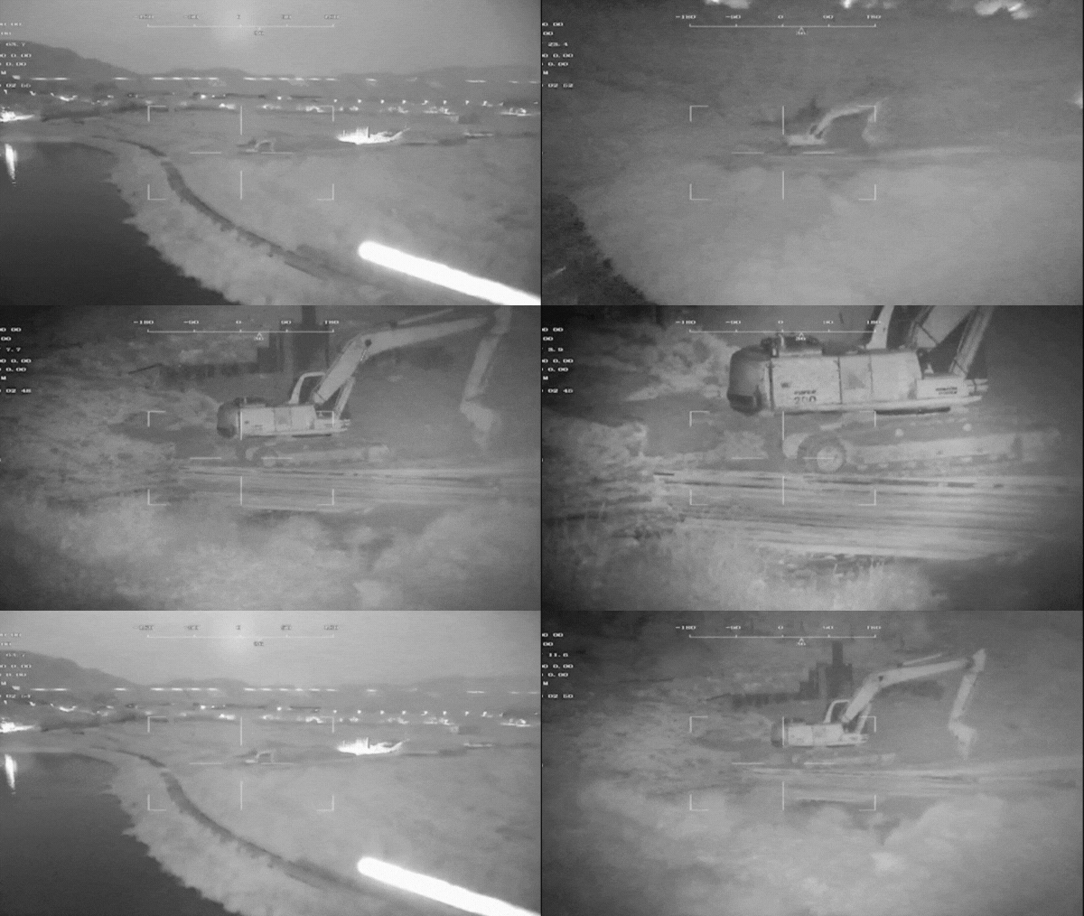
Infrared Thermal Imaging: Seeing the Unseen
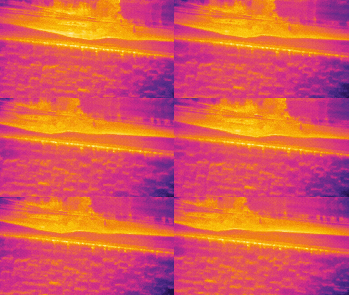
Thermal drones use infrared cameras to detect heat signatures, making them ideal for nighttime operations and tough environments like smoke or fog. They boost safety and efficiency by enabling remote inspections and real-time data analysis for tasks such as search and rescue, equipment monitoring, and geospatial planning.
Read More
Image description
Hyper Spectral Imaging: Unveiling Hidden Details
Hyperspectral imaging (HSI) combines spectral measurement with digital imaging to identify materials based on their unique spectral signatures. It's widely used in mineral exploration, environmental monitoring, and precision agriculture for detailed analysis across a broad range of wavelengths.
Read More
Image description
Night Vision: Mastering Darkness
Operating in dark and low-light environments is no longer a challenge with night vision technology. Utilizing thermal imaging and starlight/low-light sensors, our drones can perform crucial tasks at night. This is particularly useful for surveillance, security, and search and rescue missions, providing clear visibility where standard cameras fail.
Read More
Image description