Geospatial Data Analyst
Job Category: Geospatial Data Analyst (Drone & Photogrammetry)
Job Type: Full Time
Job Location: 29 Boni Ave. Cor. San Roque Jo-Cel Bldg Mandaluyong
Job Description:
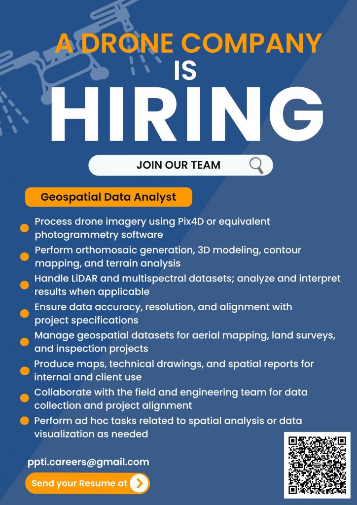
We are looking for an experienced Geospatial Data Analyst with expertise in photogrammetry, Pix4D, and drone-based data processing. The ideal candidate should be capable of handling end-to-end geospatial mapping tasks with minimal supervision.
Key Responsibilities:
- Process drone imagery using Pix4D or equivalent photogrammetry software
- Perform orthomosaic generation, 3D modeling, contour mapping, and terrain analysis
- Handle LiDAR and multispectral datasets; analyze and interpret results when applicable
- Ensure data accuracy, resolution, and alignment with project specifications
- Manage geospatial datasets for aerial mapping, land surveys, and inspection projects
- Produce maps, technical drawings, and spatial reports for internal and client use
- Collaborate with the field and engineering team for data collection and project alignment
- Perform ad hoc tasks related to spatial analysis or data visualization as needed
Qualifications:
- Proven experience in photogrammetry, especially using Pix4D
- Strong background in GIS, orthomosaic generation, and drone data workflows
- Familiarity with LiDAR and multispectral datasets (experience is a plus, but not required)
- Able to work independently with minimal supervision
- Excellent attention to detail and spatial accuracy
- Preferably with experience in aerial mapping projects