Photogrammetry: Making Mapping Accessible
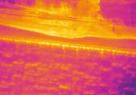
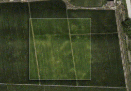
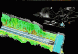
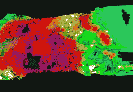
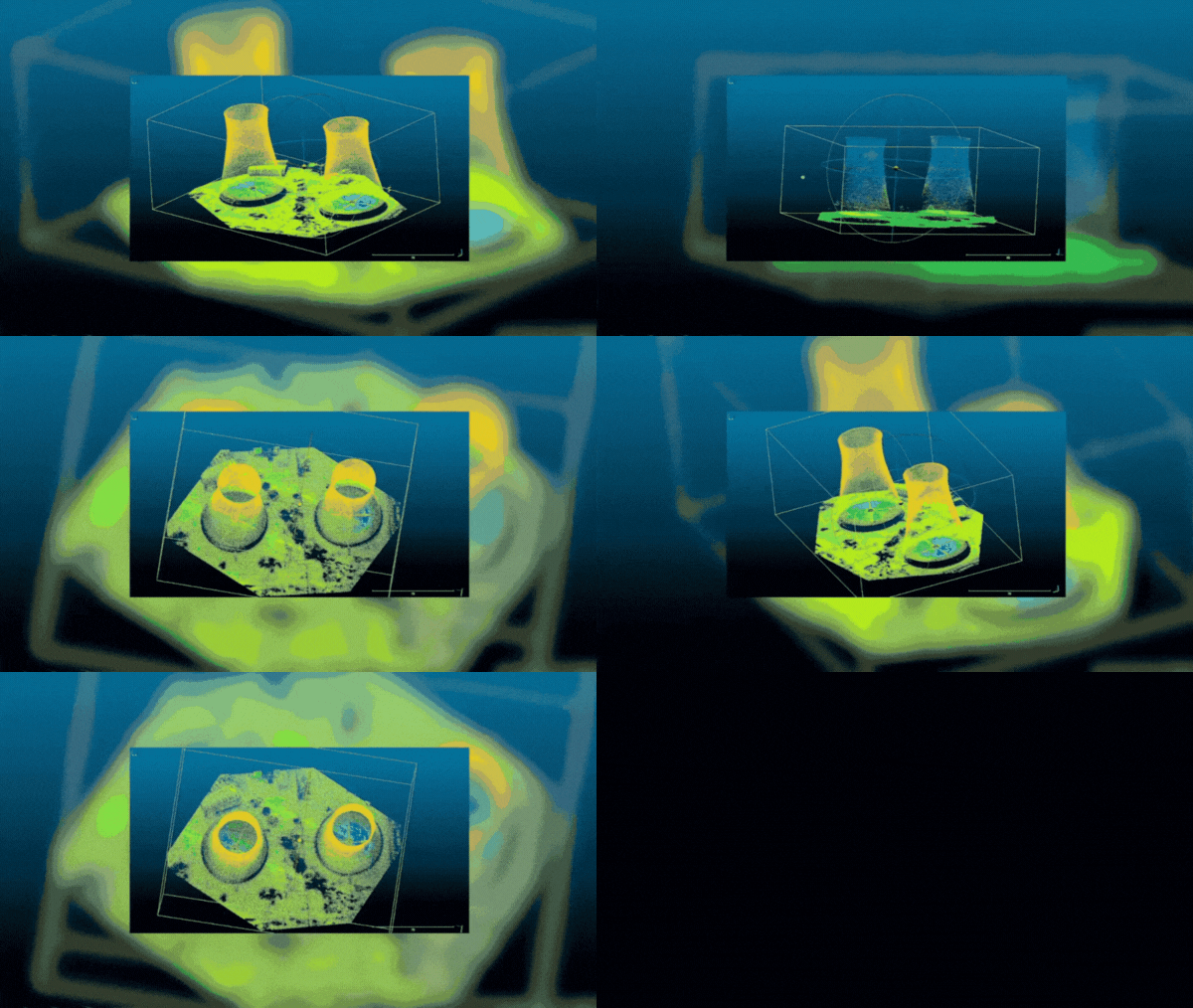
Photogrammetry transforms numerous photographs into detailed 2D or 3D models. By flying drones over landscapes or structures, we capture images that are then stitched together using specialized software. This method is incredibly useful in industries like construction, agriculture, and mining, where regular mapping is essential.
One of the primary benefits of photogrammetry is its accessibility. It’s a go-to solution for companies needing precise maps without the cost and complexity of LiDAR. However, as LiDAR technology becomes more affordable, many businesses are combining it with photogrammetry to create even more detailed and realistic models. This hybrid approach ensures you get the best of both worlds—high precision and comprehensive visual data.

