Copyright 2024 Precision Path Technologies Inc.
info@precisionpathtech.com
Home
About
Products
DRONES
PPTI-AGRI-AL30-SPRAYER
PPTI-AGRI-AL30-SPREADER
PPTI-ENT 612
PPTI-ENT 610
PIX4D
DIGITAL SURVEYING
DATA CAPTURE APPLICATION
CLOUD SOLUTIONS
MAPPING AND 3D MODELING
HOLYBRO
AUTOPILOTS & PERIPHERALS
GPS & RTK SYSTEMS
DEVELOPMENT DRONE KITS
FPV PRODUCTS
Services
Training Program
Blog
Civil Aviation Authority of the Philippines
Your Path to Becoming a Licensed Drone Pilot: How to Obtain Your RPAS Controller Certificate
Drone Safety Guidelines
Careers
Contact
FAQS
Data Capture Applications
Home
›
Data Capture Applications
PIX4Dcapture Pro
Read More
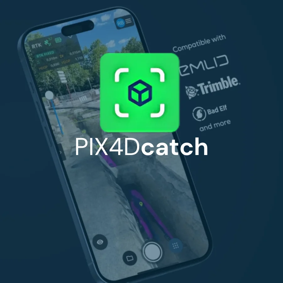
PIX4Dcatch
Read More