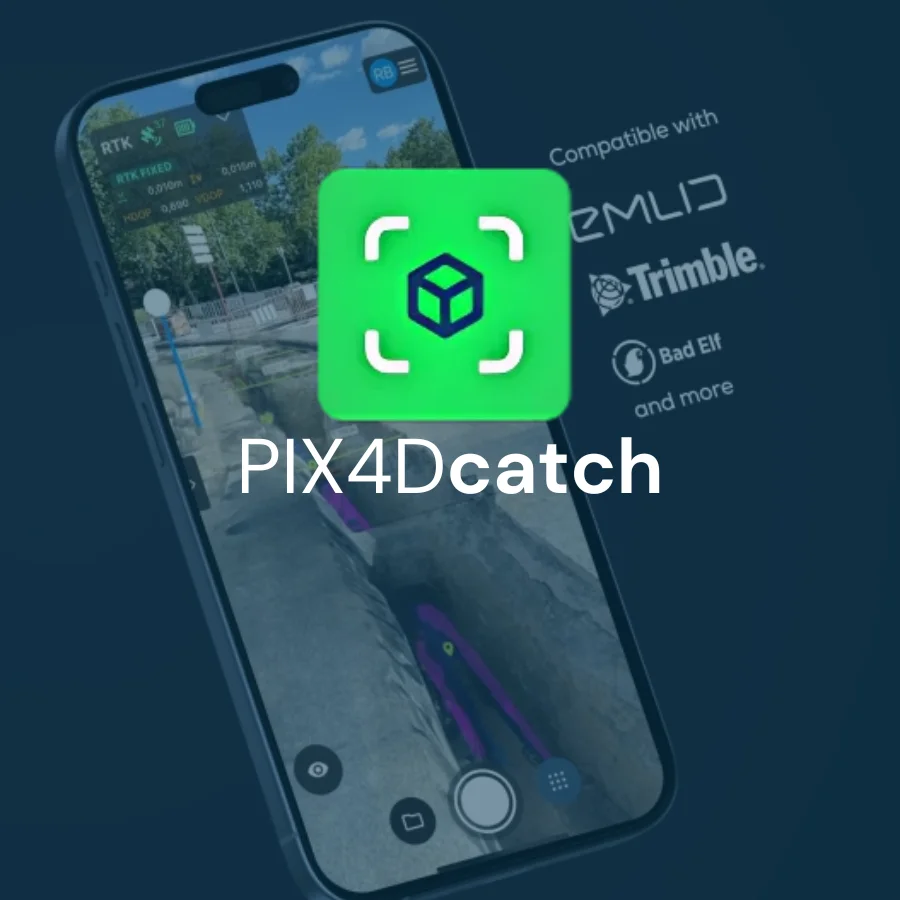
PIX4Dcatch
PIX4Dcatch Transform your work with precise 3D scans and AR Contact Us What makes PIX4Dcatch the best solution? Find out what else PIX4Dcatch can do! Download the feature list Georeferenced 3D scanning PIX4DcatchRead More
We use cookies to help you navigate efficiently and perform certain functions. You will find detailed information about all cookies under each consent category below.
The cookies that are categorized as "Necessary" are stored on your browser as they are essential for enabling the basic functionalities of the site. ...
Necessary cookies are required to enable the basic features of this site, such as providing secure log-in or adjusting your consent preferences. These cookies do not store any personally identifiable data.
Functional cookies help perform certain functionalities like sharing the content of the website on social media platforms, collecting feedback, and other third-party features.
Analytical cookies are used to understand how visitors interact with the website. These cookies help provide information on metrics such as the number of visitors, bounce rate, traffic source, etc.
Performance cookies are used to understand and analyze the key performance indexes of the website which helps in delivering a better user experience for the visitors.
Advertisement cookies are used to provide visitors with customized advertisements based on the pages you visited previously and to analyze the effectiveness of the ad campaigns.
PIX4Dcatch Transform your work with precise 3D scans and AR Contact Us What makes PIX4Dcatch the best solution? Find out what else PIX4Dcatch can do! Download the feature list Georeferenced 3D scanning PIX4DcatchRead More
PIX4Dcapture Pro Unlock the power of your drone with PIX4Dcapture Pro for optimal 2D mapping and 3D modeling Contact Us Precision flight made easy:the ultimate RTK drone companion app Terrain awareness PushRead More
PIX4Dsurvey Bridge the gap between photogrammetry and CAD Contact Us CAPTURE PROCESS ANALYZE SHARE INTEGRATE Beyond the point Extract only the most relevant information to speed up and simplify your surveying workflows VectorizeRead More
PIX4Dcloud The online platform for ground and drone mapping, progress tracking, and site documentation Contact Us CAPTURE PROCESS ANALYZE SHARE INTEGRATE Professional photogrammetry on the cloud Get rapid and reliable situational awareness forRead More
PIX4Dengine Build the future of digitized reality with our fully customizable photogrammetry reconstruction engine Contact Us What is PIX4Dengine? PIX4Dengine is a set of programming modules accessible via Application Programming Interfaces (APIs) andRead More
PIX4Dreact 2D fast-mapping for emergency response and public safety Contact Us CAPTURE DIGITIZE CONTROL MEASURE & INSPECT COLLABORATE & SHARE The mapping software for emergency response Get rapid and reliable situational awareness forRead More
PIX4Dfields Hybrid drone and satellite mapping software for aerial crop analysis and precision agricultureSaving time, money, and agricultural inputs has never been easier. Contact Us Create and use prescription maps directly with yourRead More
PIX4Dmapper The leading photogrammetry software for professional drone mapping Contact Us CAPTURE DIGITIZE CONTROL MEASURE & INSPECT COLLABORATE & SHARE Photogrammetry solution to power applications across industries Advanced data processing for precise resultsRead More
PIX4Dmatic Next generation photogrammetry software for professional drone and terrestrial mapping Contact Us Are you ready to go big? The optimized software for the next surveying and mapping challenges Bigger datasets, accurate resultsRead More