Dec 18, 2024
PIX4Dmatic
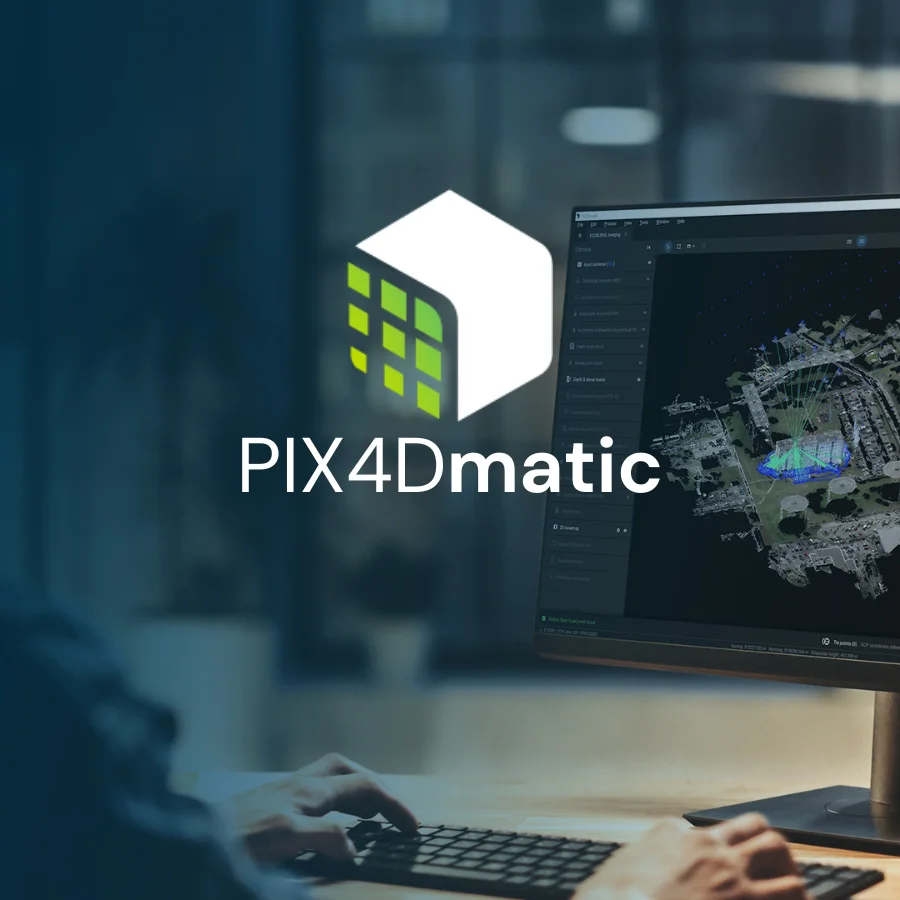
PIX4Dmatic Next generation photogrammetry software for professional drone and terrestrial mapping Contact Us Are you ready to go big? The optimized software for the next surveying and mapping challenges Bigger datasets, accurate resultsRead More