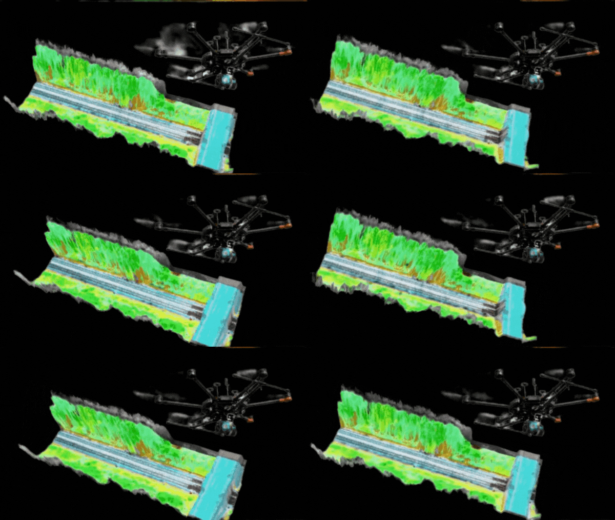
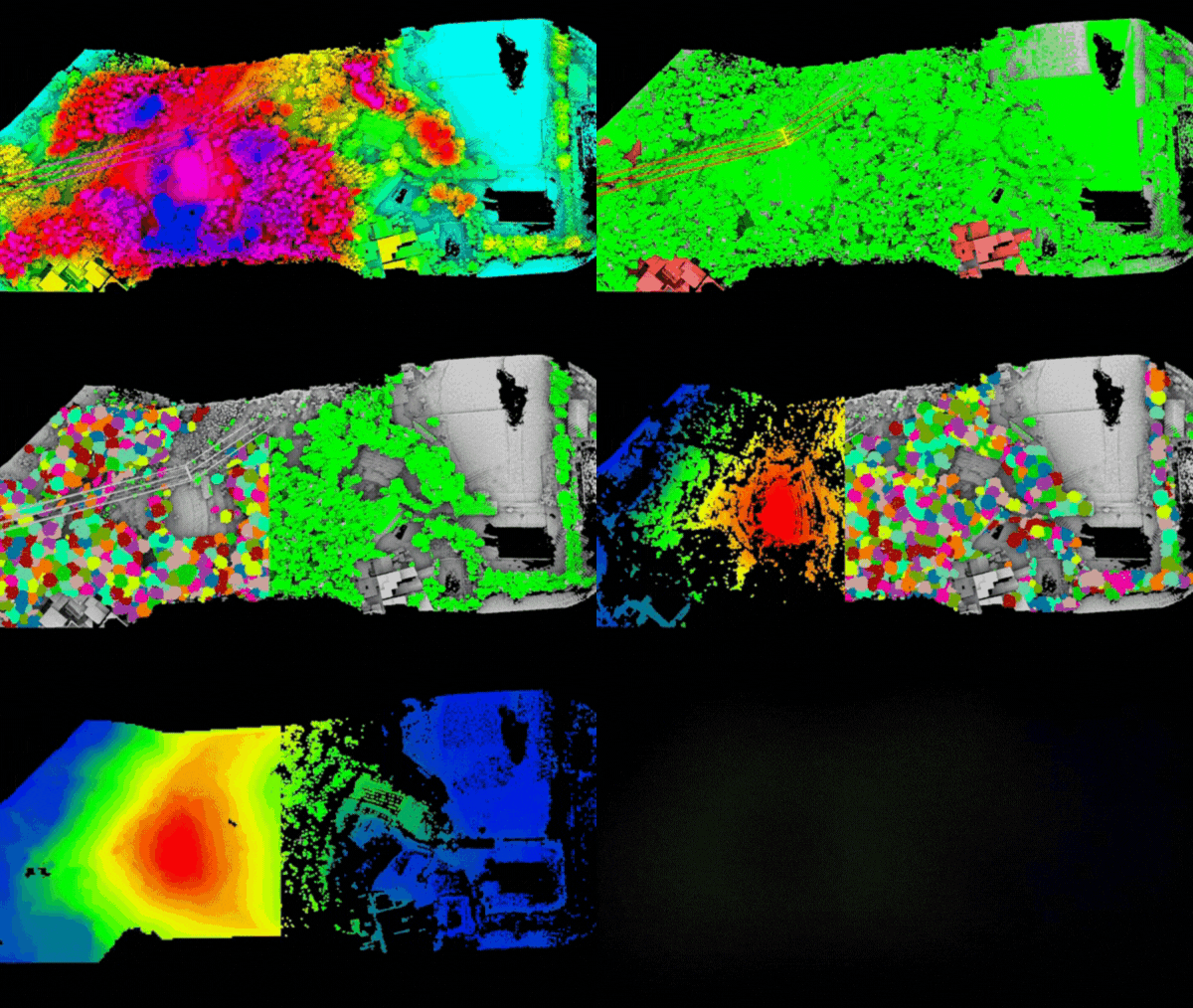
Photogrammetry: Making Mapping Accessible
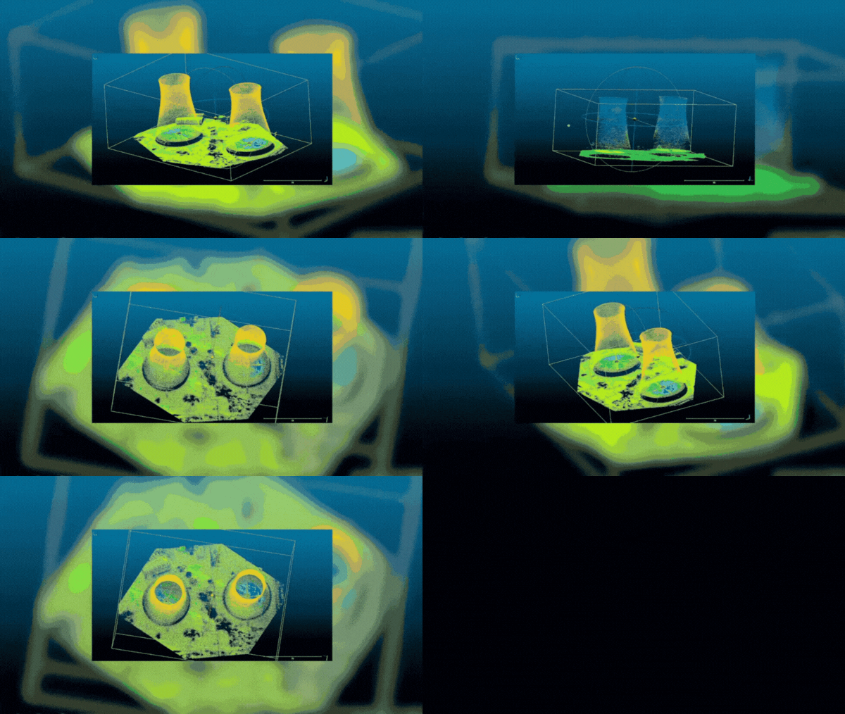
Photogrammetry transforms numerous photographs into detailed 2D or 3D models. By flying drones over landscapes or structures, we capture images that are then stitched together using specialized software. This method is incredibly usefulRead More

