Copyright 2024 Precision Path Technologies Inc.
info@precisionpathtech.com
Home
About
Products
Drones
PPTI-AGRI-AL30-SPRAYER
PPTI-AGRI-AL30-SPREADER
PPTI-ENT 612
PPTI-ENT 610
PIX4D
Digital surveying
Data Capture Applications
Cloud solutions
Mapping and 3D modeling
HOLYBRO
AUTOPILOTS & PERIPHERALS
GPS & RTK Systems
DEVELOPMENT DRONE KITS
PRODUCTS FPV PRODUCTS
Services
Training Program
Blog
Civil Aviation Authority of the Philippines
Your Path to Becoming a Licensed Drone Pilot: How to Obtain Your RPAS Controller Certificate
Drone Safety Guidelines
Careers
Contact
FAQS
Blog
Home
›
Blog
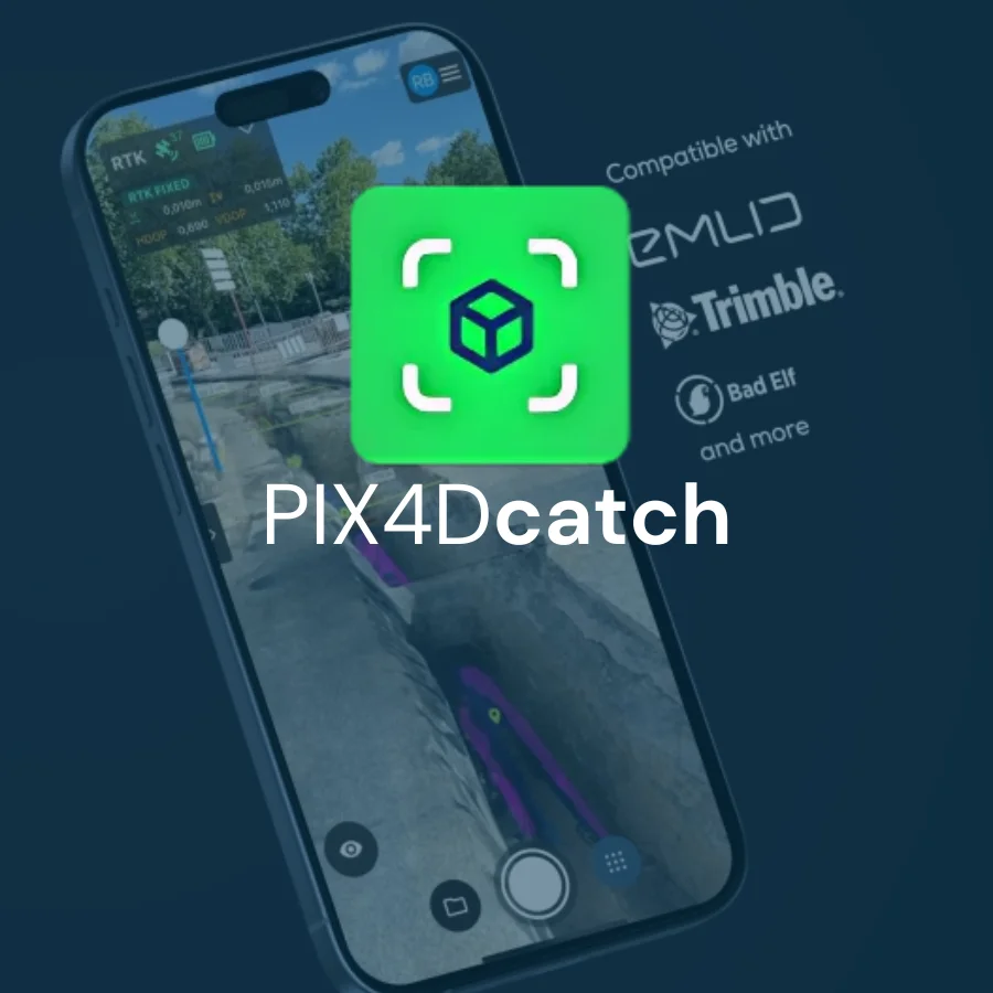
PIX4Dcatch
Jun 13, 2025
Admin
No Comment
0
Views
Share on
Read More
PIX4Dfields
Jun 13, 2025
Admin
No Comment
16
Views
Share on
Read More
PIX4Dreact
Jun 13, 2025
Admin
No Comment
0
Views
Share on
Read More
1
2
3
4
5
…
58