PIX4Dcatch
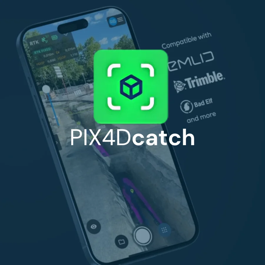
PIX4Dcatch Transform your work with precise 3D scans and AR Contact Us What makes PIX4Dcatch the best solution? Find out what else PIX4Dcatch can do! Download the feature list Georeferenced 3D scanning PIX4Dcatch
PIX4Dcatch Transform your work with precise 3D scans and AR Contact Us What makes PIX4Dcatch the best solution? Find out what else PIX4Dcatch can do! Download the feature list Georeferenced 3D scanning PIX4Dcatch

PIX4Dcapture Pro Unlock the power of your drone with PIX4Dcapture Pro for optimal 2D mapping and 3D modeling Contact Us Precision flight made easy:the ultimate RTK drone companion app Terrain awareness Push

PIX4Dsurvey Bridge the gap between photogrammetry and CAD Contact Us CAPTURE PROCESS ANALYZE SHARE INTEGRATE Beyond the point Extract only the most relevant information to speed up and simplify your surveying workflows Vectorize

PIX4Dengine Build the future of digitized reality with our fully customizable photogrammetry reconstruction engine Contact Us What is PIX4Dengine? PIX4Dengine is a set of programming modules accessible via Application Programming Interfaces (APIs) and

PIX4Dreact 2D fast-mapping for emergency response and public safety Contact Us CAPTURE DIGITIZE CONTROL MEASURE & INSPECT COLLABORATE & SHARE The mapping software for emergency response Get rapid and reliable situational awareness for
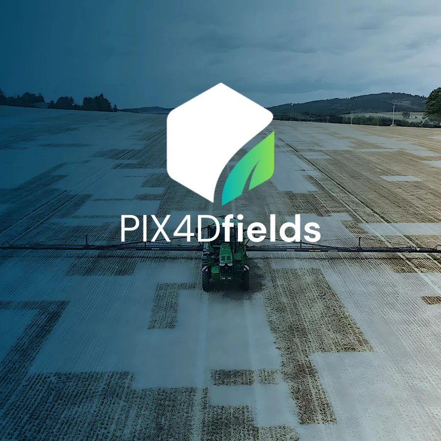
PIX4Dfields Hybrid drone and satellite mapping software for aerial crop analysis and precision agricultureSaving time, money, and agricultural inputs has never been easier. Contact Us Create and use prescription maps directly with your

PIX4Dmapper The leading photogrammetry software for professional drone mapping Contact Us CAPTURE DIGITIZE CONTROL MEASURE & INSPECT COLLABORATE & SHARE Photogrammetry solution to power applications across industries Advanced data processing for precise results

PIX4Dmatic Next generation photogrammetry software for professional drone and terrestrial mapping Contact Us Are you ready to go big? The optimized software for the next surveying and mapping challenges Bigger datasets, accurate results
Unicon UPL 35V Low ESR Capacitor Optional Items: 35v 1000uf (5pcs) 35v 1000uf (5pcs) Contact Us
Strap battery strap Contact Us